Franschhoek Guided Hike
Mont Rochelle in Cape Town by Cape Mountain Guides
Mont Rochelle in Cape Town by Cape Mountain Guides
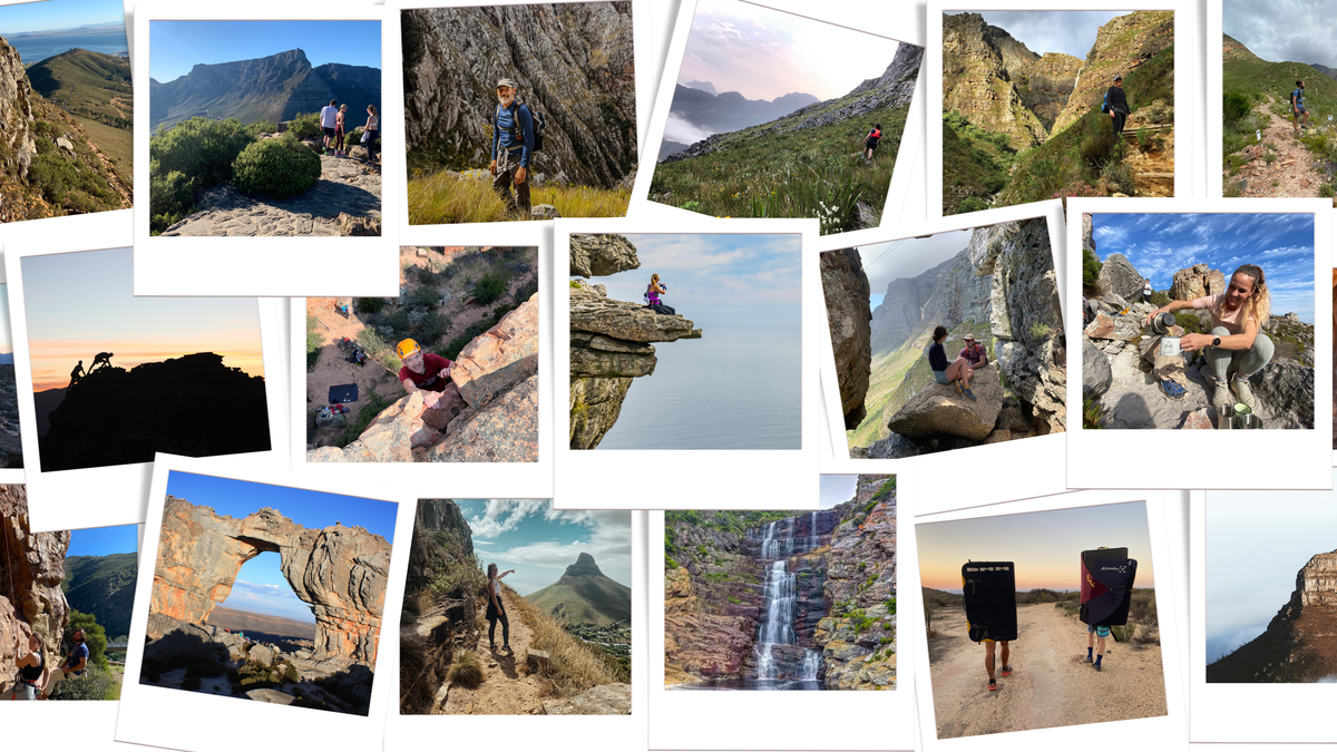
The circular Perdekop Trail rises 850m from its starting point to peak halfway at Perdekop, 1 575m. Perdekop is the highest point in the Mont Rochelle Nature Reserve. This route description assumes a clockwise hike but the trail can also be hiked in an anticlockwise direction.
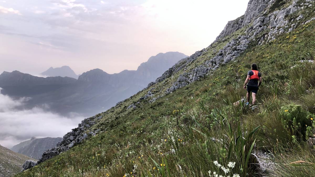
we will start off at the entry gate, go past Breakfast Rock and carry on towards Uitkyk. About 2.7km from the entry gate the Perdekop Trail branches off right towards the east of the Uitkyk Trail (elevation 1 108m). The footpath continues in a general easterly direction, climbing steadily (+/- 180m) in the first kilometre.
For the next 2km the footpath swings in a north-easterly direction, then northerly and north-easterly. Along this sector superb panoramic views of the Wemmershoek valley and surrounding cliffs can be seen. To the west Table Mountain is visible on a clear day.
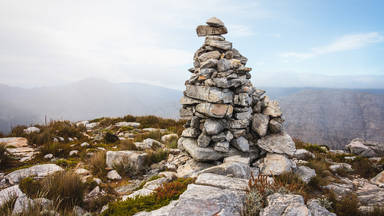
The footpath then swings eastward, crossing a small stream and passing the turn-off to the return route elevation 1 488m). Perdekop Peak (elevation 1 575m) is about 4.3km from the Uitkyk turnoff. It is marked by a large stone cairn.
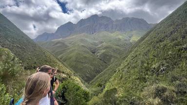
From Perdekop Peak the footpath steadily descends in a southerly, south-westerly direction. The last stretch includes a very steep descent into the Du Toit’s River gorge, and a steep climb back up. From there it is a short walk back to the gate.
Difficulty: Moderate Mont Rochelle Hike Duration: 3.5 - 4 hours Hike Distance: About 13 km / 8 miles
Duration:
When:
Where:
Weather:
What to Wear:
Things to bring:
Guests or Spectators:
Fitness:
Experience Level:
Inclusions:
Exclusions: